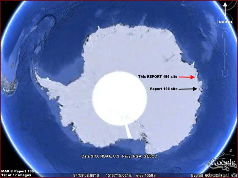
A MYSTERIOUS structure found buried ‘in Antarctica’ that measures more than 14 miles long and was discovered on Google has left people on the internet baffled.
Spotted on the Google Earth map, the white blur deep in the barren continent has provoked speculation it could be a secret research station hidden by a government or a UFO buried in the ice.
YouTube user Wowforreel has highlighted it in a video and shows how you can find it yourself on the web app Google Earth.
Describing the visual as a “patchy mass”, he says: “Antarctica is crawling with weirdness.”
He then points to the giant 14.5 miles by 4.5 miles area of bright white saying: “This thing is so huge you can’t miss it – not even from outer space.
“I’ve searched the entire continent and I couldn’t find anything quite like it.
“I thought maybe there’s a peculiar place in the images where there happens to be a gap, but I don’t think that’s the case.”
According to the teachings of conventional science, Antarctica has been embedded for millions of years under ice layers that are more than a mile thick.
However, modern, as well as old discoveries give us several reasons to question this theory.
If Antarctica had been covered under ice for millions of years, how could American scientists fish up from the bed of the Antarctic oceans specimens which show that in recent times the rivers of Antarctic had borne down to the sea the alluvial products of an ice-free area?
Officially, Antarctica was discovered first in 1820. At the time, the entire continent was already covered with ice.
Yet, thousands of years old maps prove an ancient unknown civilization did visit an ice-free Antarctica much earlier…
Cartographers have long been baffled by the astounding map of Admiral Piri Reis. It was made at Constantinople in 1513 A.D. and discovered in 1929.
The map shows what Antarctica looks like without ice, a condition which hasn’t occurred for thousands of years!
Piri Reis cannot be credited for the original cartography of this map. He could not have obtained the necessary information from contemporary explorers because in his time, no-one knew about the existence of Antarctica.
Piri Reis’ map was a compilation of various considerably older maps.
Sources: IEEE and express.co.uk

